
1606
Champlain explore la côte Est
Postes Canada
Canada Post
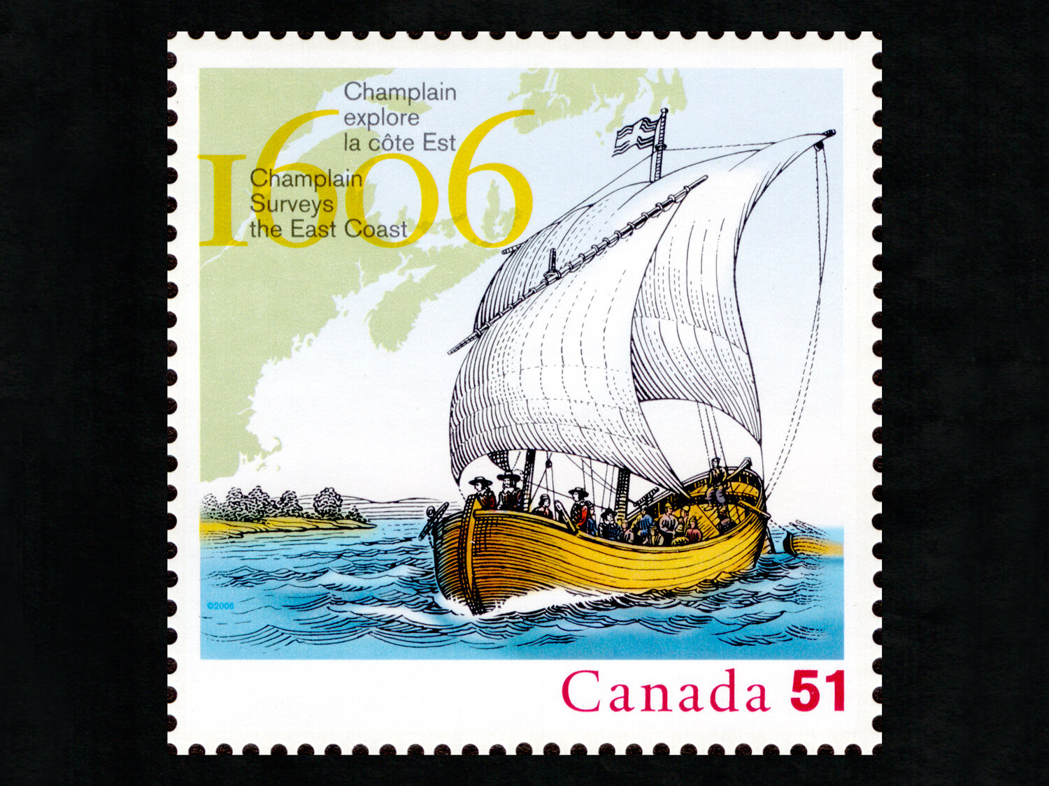
Le grand explorateur Samuel de Champlain, cartographe de profession, accompagna les premiers colons français en Amérique du Nord non pas comme chef d’expédition, mais pour cartographier les nouveaux territoires. Champlain a cartographié la côte de Port-Royal en Nouvelle-Écosse jusqu’au cap Cod à l’automne 1606. Le timbre représente une barque, un petit voilier à deux mâts construit par les Français pour explorer les eaux côtières trop peu profondes pour leurs grands navires océaniques.
The great explorer Samuel de Champlain was actually a cartographer by trade, and accompanied the first French settlers in North America not as expedition leader but in order to map the new territories. Champlain charted the coast from Nova Scotia's Port-Royal south to Cape Cod during the fall of 1606. The stamp depicts a barque, a small, two-masted sailing ship built by the French to explore coastal waters too shallow for their larger ocean vessels.


